Saturday, February 28, 2015

TTA Stone Door


Today's hike included Murfreesboro members: Craig, Jennifer and daughter Lizzie, Danielle, and Alex. Soddy Daisy: Lora. CT Volunteers: Don, Carol, TC, Judy, and Caroline.

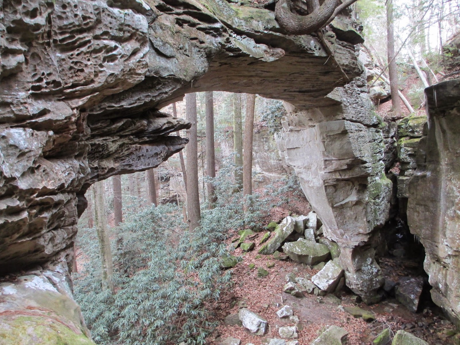
It was a beautiful hiking day in the snow.  We hiked the Stone Door, Big Creek Rim, and Laurel trails for a total of seven miles. We got our lunch in at the Alum Gap campground. Afterwards some of us and Cindy from Highland Rim chapter went down to see Laurel Falls.

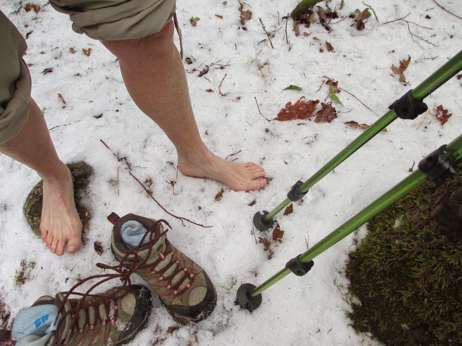
Don gets credit for photo's and most trail maintenance. Jennifer get's most adventurist for walking through the water instead of using the stepping stones. Most active goes to Lizzie, who went down the Stone Door and back. She also got the only fall at Laurel Falls. Lora got most creative for making a snowman.

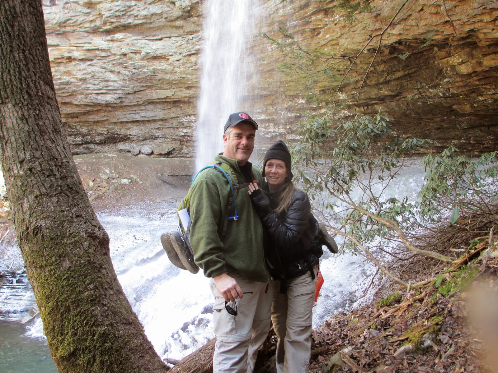
It was a great day spent with some wonderful people. After hiking Lora and I went over to see Greeter Falls.

Pictures:

Don's Pictures:

Friday, February 27, 2015

Jones Gap Rd - Soddy


Lora and I headed out to hike the new area in Soddy, Jones Gap Road. The have put in a new large parking area just on the other side of the train tracks.

The first part is gravel road going all the way to Board Camp Creek. There are numerous swimming holes through here, a water fall, and a log cabin. We got to see the icicles as well.

When we got to Board Camp Creek we did an old fashioned foot washing to get across. The trail follows a old roadbed along Soddy Creek and soon you pass an old Chimney for a steam plant from days gone by. The roadbed dead ends on Soddy Creek at a campsite set up with tables and all.

We turned around here and headed back to Board Camp Creek. We then followed the old roadbed along Board Camp Creek. Past an old gate in the first switchback there is a waterfall just off the trail. We continued up the mountain passing bluff walls and views to where we found some rock walls. With some exploring off trail we found an old mine shaft. Fifty feet in the shaft split going two different ways. We walked around and found another mine shaft in the same area.

After our find, we headed back down the mountain.  Another old fashion foot washing and on the way out we passed two older gentlemen that told us some history of the area. We checked out the cabin on the way out.

We celebrated a good hiking day with ice cream from Kay's Kastle,

Pictures:

Tuesday, February 24, 2015

Gilbert Gaul / Link Trail at Fall Creek Falls


Link Trail 3.2
Gilbert Gaul Trail 4.1
Link Trail 3.2
Total Miles: 10.5

Lora and I headed out to Fall Creek Falls to do some trails that we have not done. We started at the Link Trail where it crosses Village Camp Road just inside the South end of the park.

Halfway between Little Fall Creek and Fall Creek Falls lake is Old Corner campsite, a small campsite without water.  It does have an outhouse.

When we got to the lake we found the lake frozen over. There are numerous creek crossings done by rock hopping, but the bridge is out over Fall Creek and they are building a new bridge. So, we had to do an old fashion foot washing in the snow. I was planning on getting a picture of Lora in the creek, but I got caught in a briar while trying to get out of the creek and she was about climbing my back to get out of the creek.

We thawed out as we continued hiking to the Gilbert Gaul trail.  We took it clockwise to the trailhead and then back to the lake. We kicked up a Red tail hawk and pushed him along the lake while we hiked.

The Frazier Rain Shelter looks like an old shelter that has been slowly destroyed over time. There is still a roof and short walls with a bench.

One more time across Fall Creek and then back to the car. On the way out we heard a Great Horned owl calling out.

After hiking we had to take a ride over to the Fall Creek Falls overlook just because we were here.

We got to see deer, a hawk, and hear an owl and the soft whining of Lora as she crossed the creek.

Pictures:

Saturday, February 14, 2015

TTA Fall Creek Falls


TTA Fall Creek Falls.
I met up with the Highland Rim folks at the park. When I arrived, there was a group of people gathered at the Nature Center with Ranger Matt, so I had to see what was going on. He had a work day project to carry lumber to the Lower loop trail to a swampy section that needs a bridge or walkway. It was good to see so many young people volunteering.

 Joan had scheduled a day full of seeing as many attractions as we could see before dark. We started out at the big falls and hiking down to the base of. The temps were still chilly but we warmed up even going down. The base of the falls were covered with ice; so pretty. Lots of folks coming and going on this trail. When we got back to the top we hiked the trail along the gorge to the Nature Center. We stopped at the Rocky Point overlook for lunch, but the wind was whipping and we went back to the top to finish lunch. At the suspension bridge lots of folks were in line to go across. One lady had a monkey, even it was wearing a coat. The dogs in the park were totally confused by the strange looking "dog" and took a wide path around. Getting back across the bridge took awhile standing in line. We hiked back to the big falls and then took a drive around the gorge to all the overlooks. We had to check them all out, Millikan's and Buzzard Point are awesome. Then on to Piney Falls, my favorite. 

It was a beautiful day to visit the park, and nice folks to hike with.  

Pictures:

Tuesday, February 10, 2015

Standing Stones


Lora and I did some more exploring on our mountain.  She had told me about the standing stones and stories told that grandparents used to have dances on them back in the wagon days.  Not real sure where they were, we started on the Hendon Fire Tower road.  Between her memory and descriptions we hunted till we found them. They are about a mile and a half North of the road on top of a ridge overlooking the Sequatchie Valley. There are two of these rock formations about twenty yards apart.

From there we went on up to the fire tower.  They have removed the first flight of stairs, landings, and the floor of the top to keep people from climbing it.

Pictures:

Friday, February 6, 2015

Piney Falls SNA / Soak Creek SNA


Piney Falls 2.0 miles
Soak Creek roadbed 6.8 miles

Lora and I went to Piney Falls SNA off Firetower Road on Grandview Mountain. They have a kiosk, but nothing on it.  Luckily, we printed a map off from the computer.

We followed the trail to a split at a campsite.  We went left following the signs for the bottom of Upper Piney Falls.  The trail split again for a trail to the 40' Lower Piney falls.  We went to check it out and then came back up. Pretty Falls.

We continued the trail around to the bottom of the 80' Upper Piney falls. The falls were covered with ice so we could not follow the trail behind the falls.  We found a way back up to the top and then crossed the creek and followed the trail along the top of the falls to a rope trail going to the bottom. A view from the other side.

Next on the agenda was Soak Creek off of Shut In Gap road.  After you cross the bridge over Piney Creek there is a parking area on the right side.  There is an old road bed that follows Soak Creek.  It does not got all the way to Stinging Fork Falls, but it is close.  We figured 3.4 miles. Lots of bluff walls and areas for setting up tents.

Pictures:

Sunday, February 1, 2015

Cotton Patch Loop - Big South Fork


Day one: 7.6
Cotton Patch Loop

Day two: 6.8
Cotton Patch Loop 2.9
Split Bow Arch overlook 0.6
Split Bow Arch Trail 0.7
Bear Creek Overlook 0.6
Road Walk 2.0

Total Miles: 14.4

We headed to Kentucky to do the Cotton Patch Loop in the Big South Fork.  We started at the Slavens Branch Trailhead.  You walk down the road and turn on to the Cotton Patch Loop.  You start right off heading down for your first of five water crossings.  You are in and out of creek gorges and a lot of flat areas of hardwoods.  This trail is all old roadbed.  The one extremely steep area with a warning sign, they have build a handicap ramp for the horses.  You do go up and down a lot but it is not a strenuous hike. Beautiful area to hike.

We collected water out of the Tapley Branch and set up camp in a flat area just before the Bear Creek Loop intersection.  It was a really nice evening to stand around a campfire!  We set up our hammocks and enjoyed the evening. Lora had spotted an Great Horned Owl on our way out of Bear Creek Gorge and we got to listen to one at camp.  We also heard a Screech Owl.

The next morning we turned up the roadbed at the Bear Creek Loop trailhead and hiked a mile up to see Split Bow Arch Overlook. We then hiked 0.2 back to hike the 0.7 Split Bow Arch trail, and the 0.3 Bear Creek Overlook. The Split Bow Arch is an impressive 50'x34' arch and the trial goes through it.
From there we walked 0.8 back to our trail and headed down to Bear Creek again.  This time next to the Cumberland River.  We saw the old water gauging system next to the river.

This crossing is the deepest of the creek crossings and we were knee deep in it.  Might wanna watch it in rainy weather. From here you climb back to rim level and back to the car.  Another great hike.

Pictures: