Sunday, July 31, 2016
Wisconsin 2016
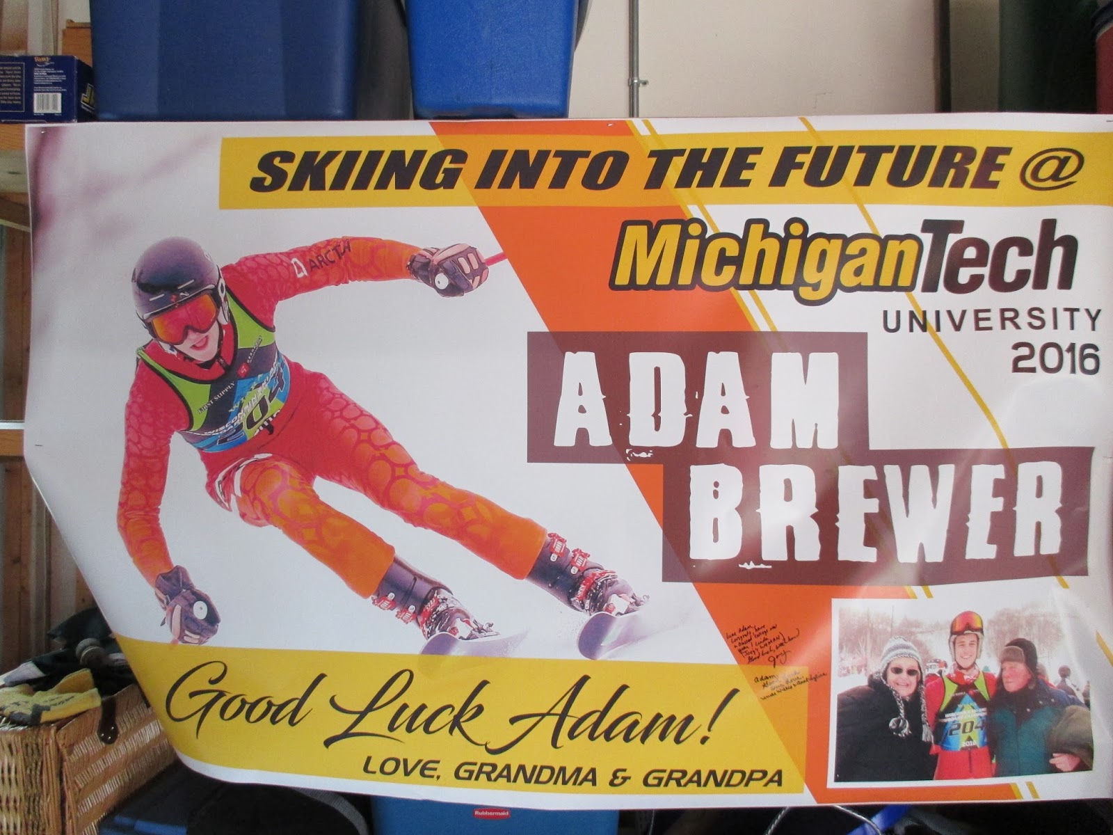
Had a great family gathering in Wisconsin this year. We were celebrating Adams graduation from High School. Lots of adventures.
Pictures:
More Pics:
Sunday, July 10, 2016
Sequatchie River II
Today after church with family, Lora and I headed to the Sequatchie River. We got permission to put in at College Station Road. When putting in, the branch I grabbed for support broke and I gave myself a black eye. The adventure has started! We went up the river 3.25 miles only having to cut a few branches. We got out of the canoe a lot going across low spots. We got to see a good size buck, an otter, a raccoon, king fishers, an owl, a white heron and some ducks.
Pictures:
Saturday, July 9, 2016
Soddy Lake
Lora and I had a few hours, so we headed to Soddy Lake for a canoe trip. When we got to the park, we found that they were setting up for a jet ski race. I had never seen one of those before. They had their helmets on and were screaming around this course.
We went around the jet skis and under the bridge to the lake. We went as far as we could up each branch and then ate lunch. We got to pick some blackberries, saw lots of turtles, and birds.
Afterwards we went up Soddy Creek as far as that goes.
Pictures:
Monday, July 4, 2016
Collins River Paddle
Today Sara joined Brandy, Jan, and us on the Collins river. We put in at the Dunlap campground on Hennessee Bridge Road in Rock Island. This is a nice campground right on the river with a good ramp.
As we went down stream we explored all the inlets and found some beautiful waterfalls, caves, and cascades. We got to see all sorts of birds. There were not many boats out, so it was a peaceful trip on a beautiful section of the river. We got out at the TWRA Kings landing boat ramp. We got in around 5.5 miles today. Great trip with some great people!
Pictures:
Sunday, July 3, 2016
Sale Creek
Lora and I joined Brandy and Jan on Sale Creek for a paddling trip. It was a beautiful day on the water and not too many boats out. We put in at Patterson road and went up Sale Creek. We did a little exploring on Rock Creek and then took Sale Creek up as far as we could, almost to Coulterville road.
We had a little excitement on the way back as we passed some campers along side the creek. They were shooting bottle rockets and firecrackers off. We yelled to them and they stopped, but as we passed one of the men just couldn't resist and had to shoot a bottle rocket at me. We had a little come to Jesus meeting and then headed on our way. There really is nothing you can do with stupid!
Pictures:
Sunday, June 26, 2016
North Chickamauga Creek - Don
Lora McBride, Judy Varner, TC Varner, and I had an unusual but fun day on the water. We launched our boats at the new North Chickamauga Creek WMA Canoe / Kayak Launch near Northgate and almost immediately had to get in the water and drag our crafts over or around one log jam after another. In the first one forth to one half mile we spent more time in the water or on the bank than we did in the boats but it made for a day to remember.
I took lots of pictures of which 33 are posted below. If you get to the photo of the Barred Owl, look closely and you can see there are two owls in the picture.
Don's photos
Sunday, June 12, 2016
TTA Mt. Cammerer
Joan planned another camping/hiking weekend in the Smokys, this time at Cosby. I really like this campground. It’s peaceful, always find a spot to camp, nestled in the mountains, a beautiful creek to cool off in, and trails to climb mountains right there. Most of the group had arrived by lunchtime Friday and hiked to Sutton Ridge on the Lower Mt. Cammerer Trail, then the Cosby Nature Trail. 2 snakes reported. I got there just in time for supper. We had fried chicken and BBQ, baked beans, steamed broccoli, several different salads, and desserts-mmmm, the best thing about front country camping-you can bring whatever will fit in your car! It looked like tent city in the group campsite but I found two trees without poison ivy covering them to hang my hammock. The group next to us was really excited about being there and didn’t want to slow down their fun. Around midnight I suggested in my “don’t make me come over there” voice that it was time to go to sleep. ZZZZZZZZ.
The birds woke us up to another beautiful day for a hike. Low Gap to Mt. Cammerer Lookout. It’s a steep climb up Low Gap to the AT. We found lots of gnats at the junction and Gloria Dale modeled her bug net for us. We saw quite a few hikers, and a few Southbound thru hikers, trying to hurry since Cosby Knob shelter was closed due to bear activity and would have to keep on going to the next shelter. If they came from Davenport Gap Shelter, that’s about a 15-16 mile day. Plus, Tri Corner had bear warnings also. On the way down we got to see a rattlesnake that must have thought we couldn’t see him since his head was hidden in the grass. We cooled off in the creek at the end of the hike. Some of the ladies got to see turkeys and a bear being released after being captured and tagged. We relaxed for a while and then headed to dinner at the Magnolia Tree. Good food and cold drinks, great conversation. Back to camp for another campfire, no marshmallows, good cough medicine, pretty moon and stars, and some overly bright stars projected from a campsite up the hill from us. I had just heard a story on NPR about how most people in the US have never seen the Milky Way or a star filled sky due to light interference. So I guess you can make your own starry sky with a projector. Weird. Our neighbors were quieter tonight, talking quietly and went to bed when we did. Hmmm.
Sunday morning birds singing, sun shining. Breakfast of champions, pack up, head out to another trail. Hen Wallow Falls via the Gabes Mountain Trail. Pretty creek crossings, wildflowers, and a steep descent to the falls, steep climb back up from the falls. Back at the parking lot some said goodbye and headed home. A few of us stayed and had a picnic with the leftovers. Then, saying our goodbyes, Joan headed to Big Creek to check out the next camping destination.
Nancy’s list of wildflowers we saw: Beebalm, goat's beard, Mountain wood sorrel, red elderberry, whorled loosestrife, rhododendron, Mtn. laurel, Solomon's Seal (gigantic!!), Partridge berry, Indian pipe, Pipsissewa, Galax, Canada Mayflower, bluets, Indian cucumber.
Hikers: Joan, Marcia, Bill, Marietta, Sara, Jan, Jean, Kathy, Gloria Dale, Nancy, Betty, Garnett, Jane, Lora.
Pictures:
Sunday, May 29, 2016
Cane Creek
Lora and I decided to canoe Cane Creek from the Caney River starting at Hwy 111 boat ramp. When we got there, being a holiday weekend, the ramp was crowed. When we finally got on the river we went East and the traffic was not too bad.
We started right off with seeing some deer along side in the woods. We paddled to Cane creek and went under the old bridge structure. This is a very peaceful and beautiful part of the creek. We paddled around the Island and up to the first house where we took a right and paddled down to the end of the slough. When we came back up we headed to the bridge at Hickory Valley Road. Where we took a break and then headed back.
On the way back we saw a turkey and some ducks. At one spot we also saw a hound dog cooling down in the Creek. We also got to see a Summer Tanager, a red bird, but did not get a picture of him. I included a web pic of him in our pictures. We got in about seven miles today.
Pictures:
Saturday, May 28, 2016
Sequatchie River
Lora and I put in at the Hwy 127 boat ramp. This was our second attempt at this river. Being Memorial Day Weekend, we were trying to avoid the crowds. After we got on the river we ended up seeing about a dozen different kayakers. We of course did the hardest way possible and paddled upstream to almost Hwy 111 and then floated back to Hwy 127. We did about 12.5 miles today.
Pictures:
Sunday, May 22, 2016
Cades Cove Hiking Weekend
I had a weekend of hiking planned: Deep Creek area, Cades Cove area, and camping in Cades Cove. One hike got cancelled, the other one changed. Plan B, hike in Greenbriar Sat, hike with Lillian Sunday. Greenbriar got cancelled/changed. Plan C Hike with Lillian Sat/Sun. Good to go!
I stopped along my route to Townsend at Look Rock Tower. Had a 360 degree view of clouds. Explored a couple of backroads and drove to Townsend Y, found a pretty place by the West Prong Creek to eat my lunch in the car in the rain. Found Lillian at the Y and we started up the Chestnut Top Trail to finish the 2 mile section she needed to mark off her map. The early spring wildflowers were all gone but we saw some interesting ones and lots of ferns. Everything was washed clean by the showers. The temp had cooled off but the humidity was there. We saw the big tree marked by a bear and the views of Thunderhead. Lillian found her turnaround spot and we headed back to the cars and on to Cades Cove where we set up camp.
The campground was full and we got there too late to buy firewood so I scouted the picnic area and found enough to last the evening. Just as we were turning in for the night, an owl talked to us. The birds singing the next morning woke us up. The plan for today was contingent on how Mill Creek was flowing. If low we would hike Rabbit Creek Trail to campsite 15; if too high-shuttle car and hike Goldmine-Cooper Road. The water was no more than knee high so we hiked Rabbit Creek Trail. We met a pair of backpackers who had seen the Abrams Creek crossing at the Hannah Mountain Trail and decided it was too high and swift to cross and had to change their course. We told them the crossing to get out was good, they didn’t know they would have to cross to get off the trail. We got to 15 and took a snack break. The campfire on the hill was still smoking. Rabbit Creek is right there so I don’t understand why folks don’t get water to pour on their campfires when they get ready to leave. After a snack we hiked back to the trailhead, stopping to change our boots to water shoes to cross Mill Creek again. A family with two young kids and a German shepherd were playing on the other side of the creek with the dog jumping and splashing and barking. He was on a leash, but I yelled across the creek and asked if the dog was friendly, because we had to cross. The man said yes, he’s just a puppy, and Lillian asked if he could keep the dog from shaking water all over us. They moved over to let us cross and the dog got excited at strangers getting too close to his family. Safely across and at the kiosk I looked to see if the “No dogs allowed on trails” was still posted. Yes it is but bless the dog’s hearts, they can’t read.
The parking lot was packed by this time, and so was the loop road. We exited onto Hyatt Lane and saw several folks out of their cars with zoom lenses pointed at a bear crossing the field. We crept thru the bear jam and back on the loop road. We exited onto Rich Mountain Road. I had never driven out this way. 7 miles of gravel road to go to Townsend with a couple of overlooks to stop at. We stopped at Indian Grave Gap Trail and hiked the 1.1 miles to the junction with the Rich Mountain Loop trail. The mountain laurel was in full bloom on the trails today, this trail had trillium and bloodroot leaves that were HUGE! Back to the cars and across the mountain to come out at the Ace Gap trailhead.
Thank you Lillian for being my hiking and camping partner for the weekend!
Subscribe to:
Posts (Atom)


