Sunday, January 24, 2021

Black Mt. to Ozone Falls South Section


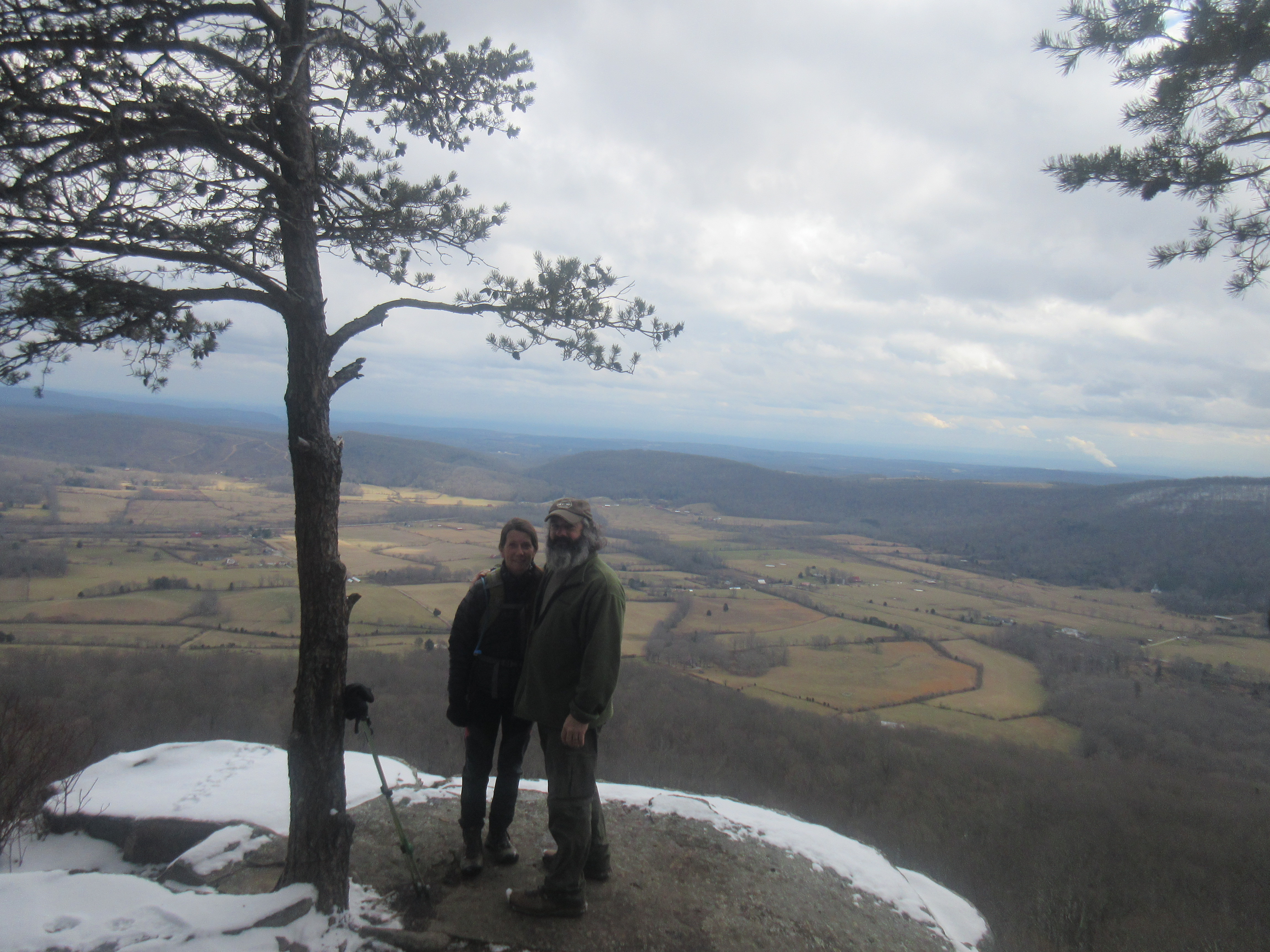
Lora and I headed back to Black Mt. to finish up the Ozone Falls segment of the Cumberland trail. We have already done the Northern half so we needed to do an out and back to get the Southern part. This part of the trail is really a pretty section with plenty of water sources. It is a bit steep going into the Basin Creek gorge and there is a couple of sections where there is no real trail so you have to do your own scramble. Not a wet weather hike for sure. There is a good overlook where the property owners had done a clear cut on the East side of the trail. There is some old trees along the trail as well.

Pictures:

Monday, January 18, 2021

Hell's Kitchen


Lora and I took off to Graysville with half a day and did the hike into Hell's Kitchen off the Cumberland trail. This is a really cool place just to wander around at. You go around,inbetween, and over the boulders. I am sure that the climbers love this area.

 Pictures:

Sunday, January 17, 2021

Grassy Cove Segment


Lora and I got our snow hike in today. We couldn't get up Black Mt. because of the ice on the road. Everyone else was turning around as well. We drove to the bottom of the mountain and decided to hike Brady Mt. It was a beautiful day of hiking in the snow and seeing all the beauty. 

Pictures:

Thursday, January 14, 2021

North End of the South Section of the N. Chickamauga Creek Segment


Lora and I headed out to Barker Camp Road to hike the North End of the South Section of the N. Chickamauga Creek Segment of the Cumberland trail. 

Is this section complete?? Well I will describe it the only way I can. We took the blue blazed trail from the parking lot to where it dumps you out on an old roadbed with no further marking. From prior experience I knew that if you went left uphill you would eventually come across the trail heading to Stevenson's Branch. If you go right and downhill you will end up on Cain Creek. From Cain Creek you have to make your way back upstream until you find the Furnace Rock. You will see the bridge from there. There is no trail to the bridge so you have to climb your own way there. At the other end of the bridge you will find a staircase and at the end of it nothing. If you go to the bluff wall and go right climbing over the rocks you will find Vortex Falls. If you go to the bluff wall and go left up the hillside you will eventually find the trail. Now this section of trail is blazed. The trail is partly built being that there are a lot of rocks. Some are stable and there are some good steps. Problem is there are a lot of the rocks which are loose so you don't know which ones you can trust. There is a section that has washed down into the creek and a couple of blow downs.

The trail follows Cain Creek and is blazed up until the confluance of Chickamauga Creek. Here the trail is just flagged. You follow the flagging and the trail will climb up and follow some bluff lines. After the bluff lines the trail will go uphill and follow an old roadbed. Shortly up the roadbed the flagging goes off to the left, but there is no trail here. The trail continues along the roadbed and is not marked in any way. The roadbed goes across the top of the mountain for a while and then drops back of into the Chickamauga Creek Gorge. Here the blazing starts back up for a while before going back to just flagging. We turned back at Holly Branch because of time. It looks like they either had a log bridge here or have one to be placed.

Pictures:

Tuesday, January 12, 2021

TTA McGill Creek


I got to go to McGill Creek today in some beautiful weather to hike and visit with friends. We started at Downy View lane and hiked to the Roaring Creek trailhead parking area. Five of us total including Don, Joan, Sara, and Jane. Don led the hike and also recorded all the downed trees so he could report them to the CTC. We enjoyed our lunch at the McGill Creek Falls. The first mile or so from Downy View Lane is not built trail, but is flagged to the built trail. 

Pictures:

Thursday, January 7, 2021

Honey Creek TTA


The 12 hikers led by Deb started out from the overlook, and down the ladders. A group of 4 left us at the split for a shorter hike. The other 8 set out to do the whole loop. It was cold this morning, 21 at daylight, so I expected to see frozen trail and icicles hanging. Instead we got muddy trail, and waterfalls. And ropes. The water levels in the creek crossings were low enough that we skipped the ledge crawling. We had a couple of hikers slide/slip/fall, nobody fell in the creek. As we crossed the road near the end of the hike, two more hikers said they'd had enough and road walked to the cars. The 6 of us finished the loop. 50 percent, not too bad. Beautiful day to be in the Big South Fork. 

Pictures:

Sunday, January 3, 2021

South section of North Chickamauga Creek


 After reading on the CTC newsletter from August about some folks hiking this trail, we went hunting for the trailhead (newsletter said Hall Road). We drove Hall Road twice, no trail. Google North Chickamauga Creek, boom, Old Anderson Road. Dirt, rough, but found a parking area and a kiosk (with nothing on it) and a brown Cumberland Trail sign along with a Wild Trails sign. It was cold and we had a little snow falling. Lora had her mask on, not for covid, just for cold. Trail followed North Chick Creek, so pretty, lots of hemlocks, mountain laurel and lots of camping areas. Easy walk. About 5 miles in we turned around at Seed Tick Branch. Found remnants of a still. The sun came out and we had blue sky and a little bit of warm air. 

Pictures:

Saturday, January 2, 2021

McGill Creek

On the way to Walmart we decided to go ahead and hike McGill Creek to the falls and back. Another beautiful day and we got to meet Dana a friend of our blog on the trail. Pretty cool!